Fort Fisher
| Location | New Hanover, North Carolina |
|---|---|
| Coordinates | 33.9717, -77.9194 |
| Access | Public - state historic site, free |
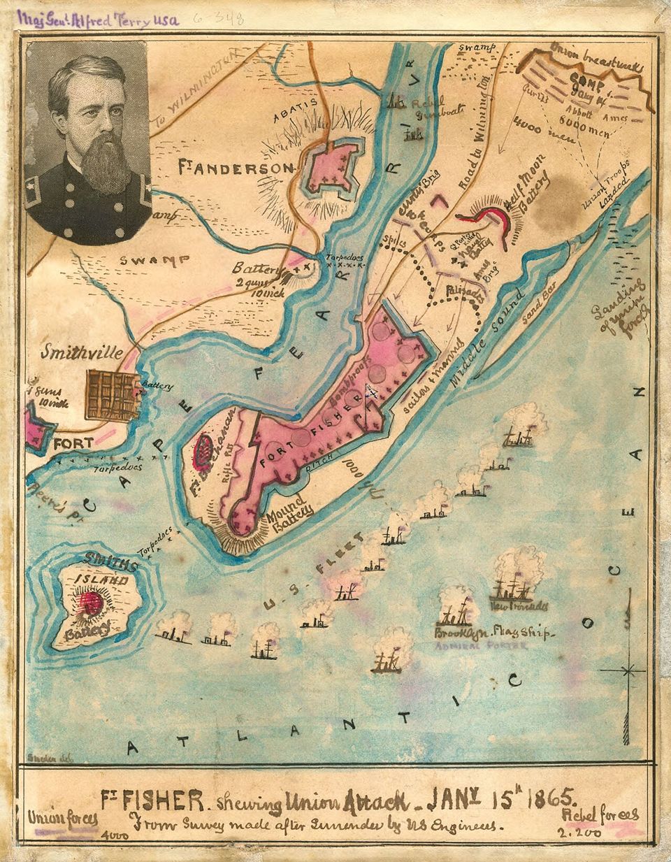
By January 1865, Wilmington was the Confederacy’s last major port still open to blockade runners. Fort Fisher guarded the mouth of the Cape Fear River, where ships brought supplies past the Union blockade. The fort’s long sand ramparts were not a stone citadel; they were earthworks designed to absorb naval bombardment and hold a defensive line along the coast.
The Confederacy began building the fort in 1861, and it grew into the largest earthwork fortification in the South. Enslaved and free Black laborers worked alongside Confederate soldiers to construct it. By the final months of the war, the fort protected the supply route that connected Confederate forces inland with goods arriving from abroad. Losing it would isolate Wilmington and cut a major channel of support to the Confederate armies.
The rest of this file is sealed. 3 more sections: what happened next, what people still report, and how to visit.
>> OPEN THE FULL FILE IN THE APP <<Free on the App Store · your first 3 stories are on us