Fort Matanzas
| Location | St. Johns, Florida |
|---|---|
| Coordinates | 29.7153, -81.2392 |
| Access | Public - National Park Service, free, ferry to the fort |
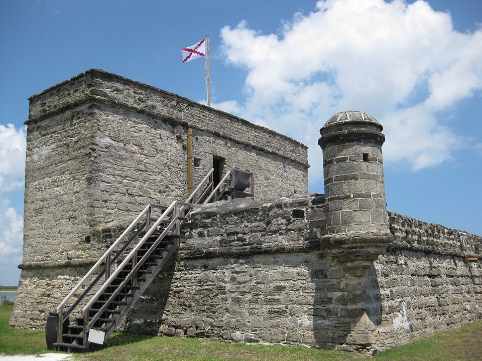
Fort Matanzas is small enough to mistake for an afterthought. It is a compact coquina tower on a low island south of St. Augustine, built to guard the inlet that could let an enemy approach the city from behind. Spanish planners began the fort in 1740, after a British siege exposed the vulnerability of the southern water route. Work continued through difficult marsh conditions, with timber piles driven into the ground to support the stone.
The name of the inlet carried an older history. In 1565, Spanish forces killed French Huguenots near the waterway; “Matanzas” means slaughter in Spanish. The Spanish fort built here almost two centuries later protected the colonial settlement whose expansion had helped create that violent frontier. Indigenous communities and European empires shaped the region long before the masonry tower appeared. Its history belongs within that wider story of conquest, religious conflict, and territorial control.
The rest of this file is sealed. 3 more sections: what happened next, what people still report, and how to visit.
>> OPEN THE FULL FILE IN THE APP <<Free on the App Store · your first 3 stories are on us