Proctors Ledge
| Location | Essex, Massachusetts |
|---|---|
| Coordinates | 42.5175, -70.9089 |
| Access | Public - small memorial at the base of the ledge, residential street |
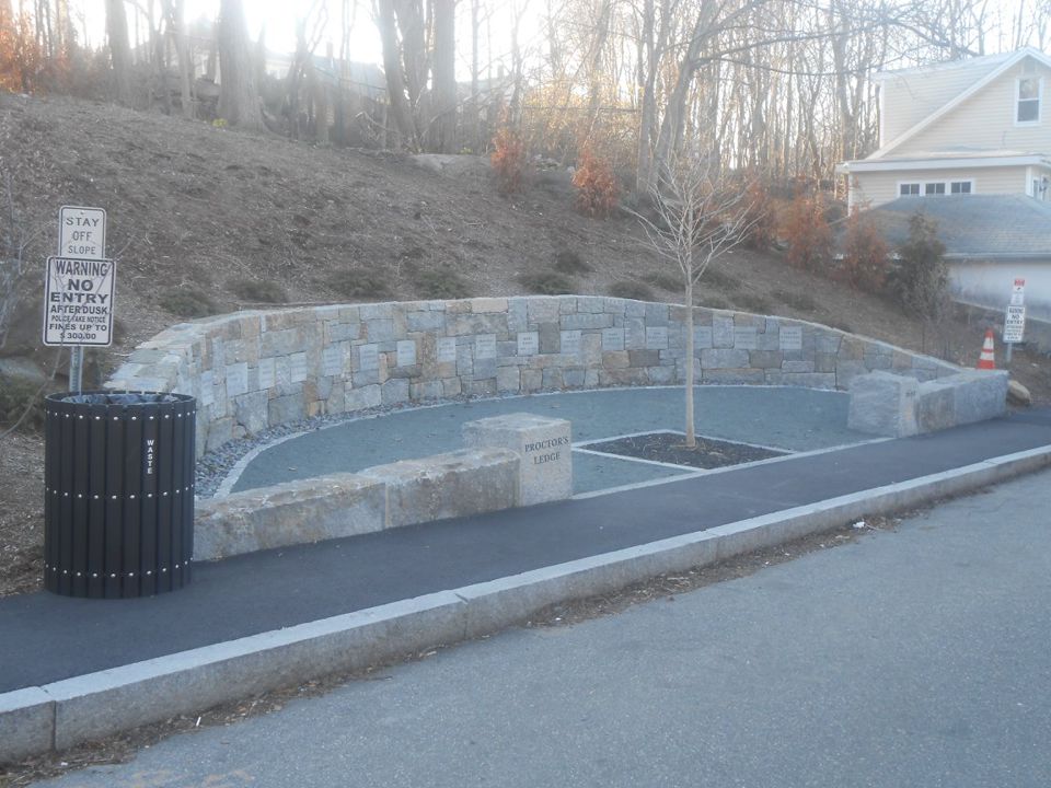
For generations, Salem’s executions of 1692 were associated broadly with Gallows Hill, but the exact location remained uncertain. In the early twentieth century, local historian Sidney Perley proposed a lower site known as Proctor’s Ledge. The city acquired land there in 1936, yet the interpretation was not widely accepted, and no memorial was built at the time.
Researchers returned to the question in the twenty-first century. A team connected with the University of Virginia and Salem State University compared historic accounts and maps with the terrain. Their work included analysis of topography and sight lines, as well as ground-penetrating radar. In 2016, they concluded that Proctor’s Ledge was the most likely execution site. The evidence matters because it joined written testimony to the shape of the land rather than relying on a longstanding label alone.
The rest of this file is sealed. 3 more sections: what happened next, what people still report, and how to visit.
>> OPEN THE FULL FILE IN THE APP <<Free on the App Store · your first 3 stories are on us